
Lesotho is the only country on earth that sits entirely above 1,400 metres. You can see it from the Free State on a clear day, a blue wall on the horizon, and most people who see it never go in. The ones who do tend to go up Sani Pass, have a beer at the top, and come straight back down.
We have stood at the top of Sani with the cloud below us. We have sat on the lip of the Maletsunyane gorge with a glass in hand while the sun went up the far wall. Both times the same thought came up: these two places are 300 kilometres apart, there is a whole kingdom between them, and almost nobody drives it.
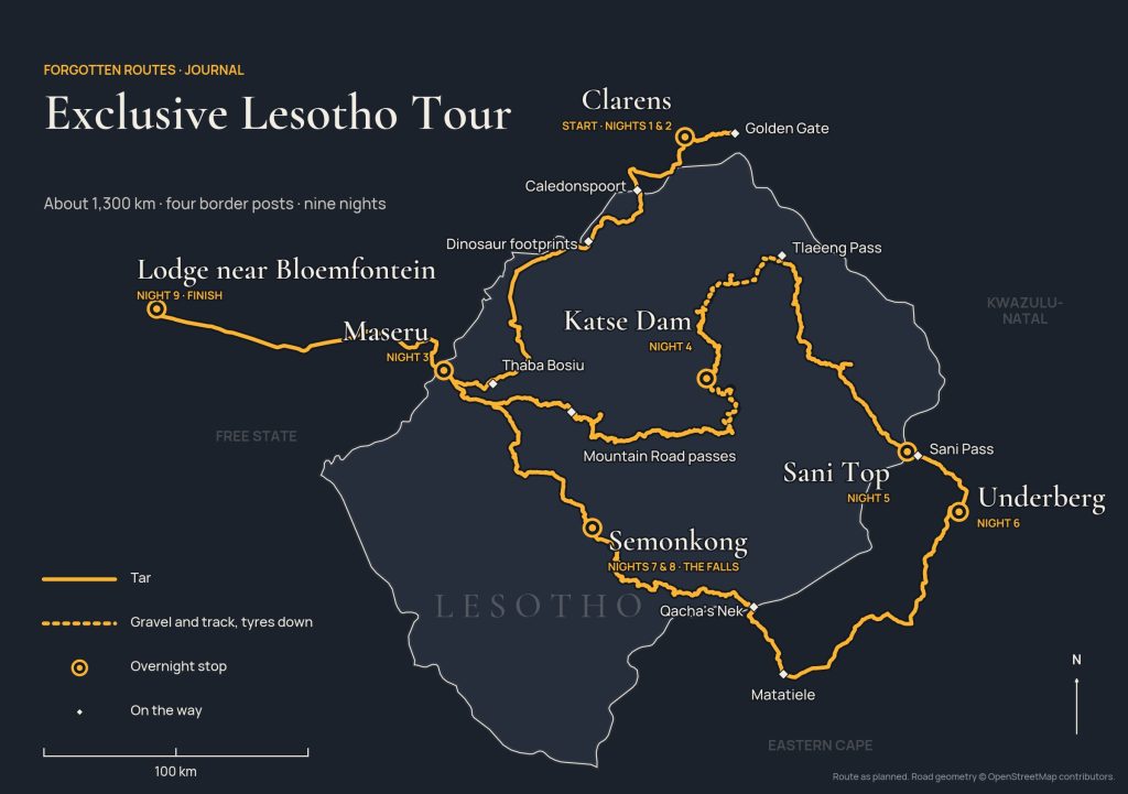
So the FR Tour Team sat down with the maps and drew the line that joins them. This is that line. It is not one of our three expeditions and it is not on the calendar. It is here in the Journal because we want you to see that it can be done, and how.
A note before we start. The photographs of Clarens, Sani and Maletsunyane in this piece are ours, cleaned up for the screen. The images marked Illustration show the mood of days we have not photographed yet. The day-by-day below is the route as planned. Mountain roads change with every season, so the hours are honest estimates, not promises.
Arrival: Clarens
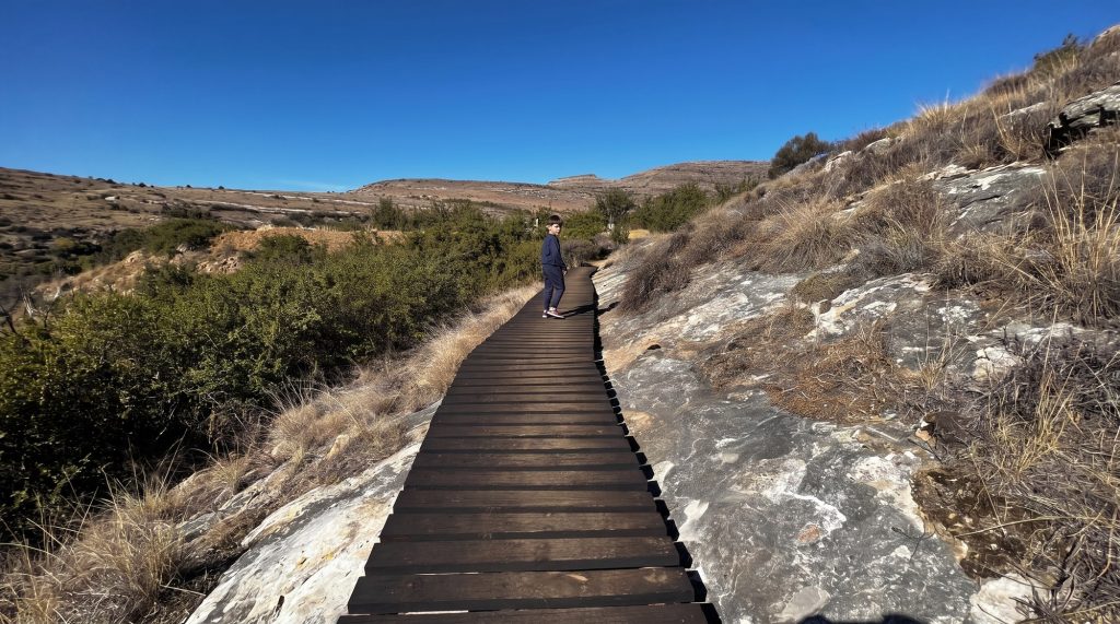
Nobody starts a mountain crossing from an airport car park. You arrive in Clarens when it suits you. Walk the square, find a gallery, sit under the trees with something cold.
In the evening the FR Tour Team has a table laid. Supper together, and the briefing over the last glass: how the radios work, how the convoy moves, what tomorrow looks like.

Day one: Golden Gate
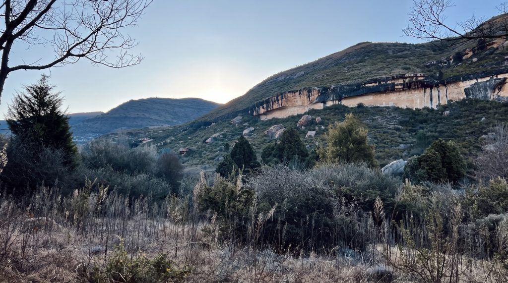
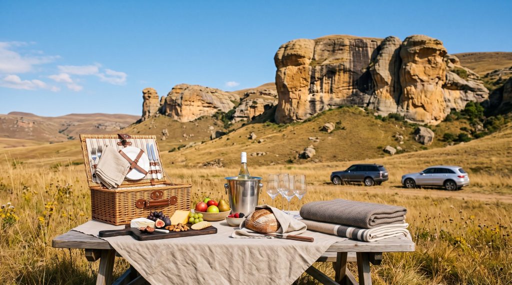
An easy day on purpose. Twenty minutes out of Clarens the road runs into Golden Gate, where the sandstone cliffs turn the colour their name says they will. The cars get a gentle first outing, you get used to the radio in your ear and the lead car in front of you, and at midday the team unpacks a picnic under the cliffs.
Back to Clarens for the evening. One more night in a proper bed with nothing to do. You will want it.
Day two: into the kingdom
The border at Caledonspoort is forty kilometres from Clarens. The team handles the paperwork. You hand over a passport and get it back stamped.
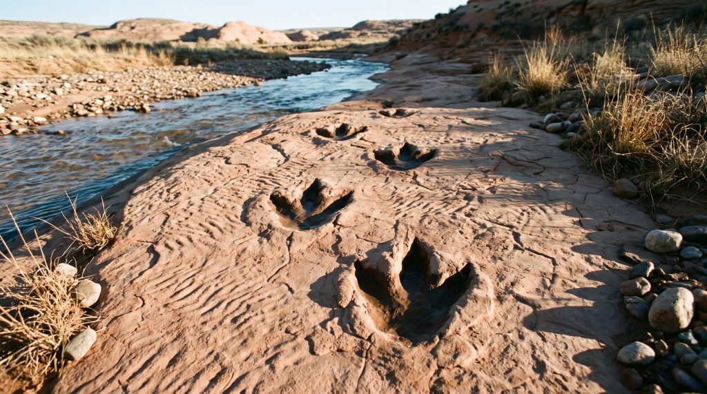
Then south, with the Maloti on your left the whole way. Near Hlotse we stop and walk down to a riverbed where dinosaurs crossed wet sand some two hundred million years ago. The footprints are still there in the rock. No glass case, no rope, no ticket booth. You can put your hand in one.
In the afternoon, Thaba Bosiu. It is a flat-topped mountain that King Moshoeshoe made his fortress in 1824, and nobody ever took it from him. The Basotho nation began on top of it. We reach Maseru by evening. About four hours of driving, all of it tar.
Day three: the Mountain Road
This is the day the country stands up. East of Maseru the road climbs three passes one after the other: Bushman’s, then God Help Me, then Blue Mountain. You will understand each name as you go over it. It is tar, it is smooth, and it is some of the best driving in southern Africa.
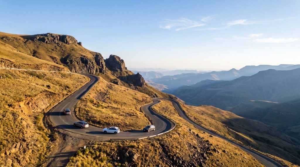
Past Mohale Dam and the town of Thaba-Tseka the tar ends. Tyres down, and the team does a walk-around of every car. The last sixty kilometres to Katse are rocky gravel at walking-the-dog speed, with the dam appearing below you a piece at a time. Five to six hours in all.
Day four: the roof of Africa
Morning inside Katse Dam. Not beside it. Inside it. The wall is 185 metres high and there are galleries running through the concrete, and you can walk them.
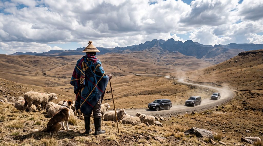
Then north along the water and up a gravel road past the diamond country. Letšeng, the highest diamond mine in the world, sits up here at over 3,000 metres, and so does the road. For an hour or two you drive higher than most light aircraft fly. Shepherds in blankets watch you pass. There is nothing else up there.
Tar again through Mokhotlong, and late in the afternoon the land simply stops.
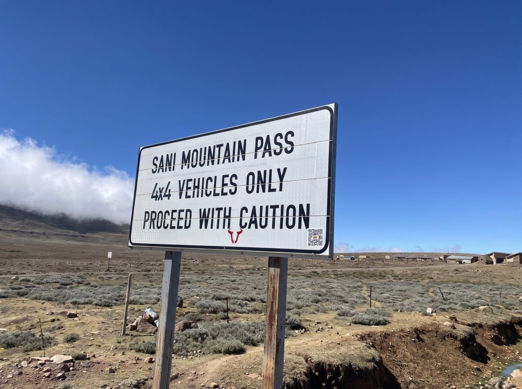
This is Sani Top. We have been here and it looks exactly like this: a sign, a few stone buildings, a sky that is too big, and the whole of KwaZulu-Natal somewhere below the cloud.
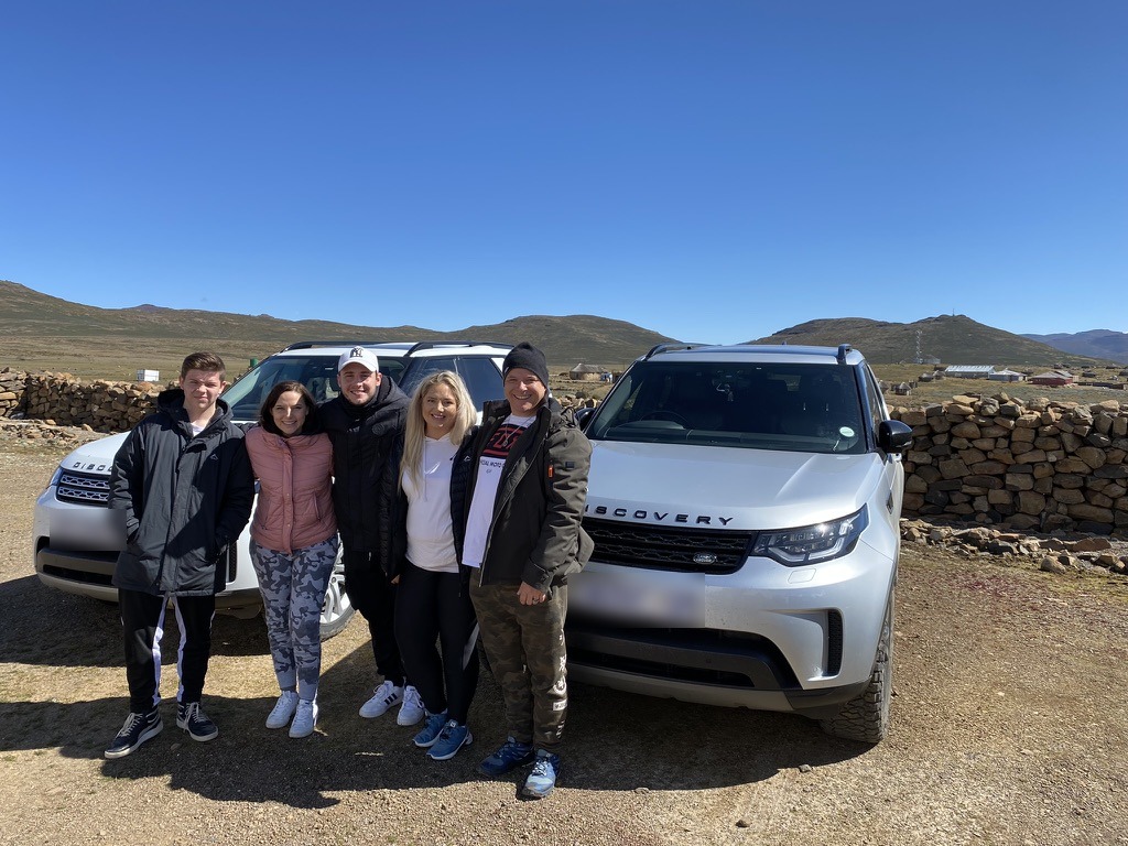
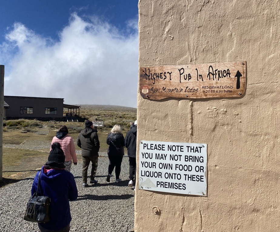
There is a pub. It calls itself the highest in Africa and nobody has successfully argued. We sleep up here, because the pass deserves a morning.
Day five: down Sani
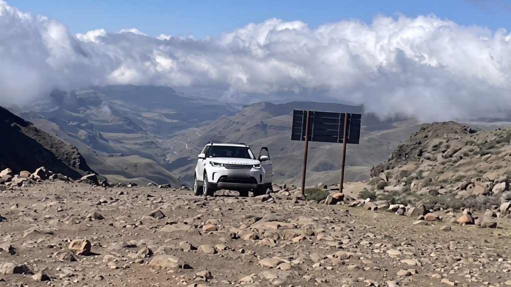
You come down Sani Pass early, when the light is low and the road is empty. It drops more than 1,300 metres in a run of switchbacks cut into the basalt, loose rock under the wheels, the valley wide open on one side. Low range, first gear, feet off everything. The lead car calls each corner on the radio. The car does the work. That is what it was built for, and most of them never get asked.
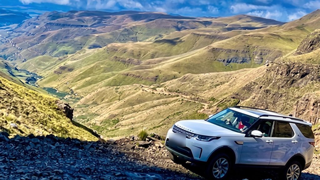
At the bottom the South African border, tyres up, and tar into Underberg. A short day. Lunch is long and the afternoon is yours.
Day six: back up the other side
Here is where this route parts ways with every other Lesotho trip. Everyone else goes home from Underberg. We turn south along the foot of the Drakensberg, through Swartberg and Matatiele, and go back into the kingdom by the side door at Qacha’s Nek.
It is the longest day, around six and a half hours, and the easiest driving: all tar, a good lunch in the middle, and a road through southern Lesotho that was gravel not so long ago. It ends in Semonkong. The name means Place of Smoke. You will see why tomorrow.
Day seven: Maletsunyane
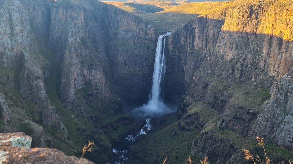
No driving today. The Maletsunyane River runs quietly across the plateau and then falls 192 metres into a gorge in a single drop. The smoke is the spray.
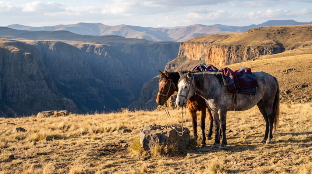
You can ride to it on a Basotho pony. If you are that way inclined you can go over the edge on a rope, 204 metres, the longest commercial abseil in the world. Or you can do what we did the last time. We put a blanket down on the edge in the late afternoon, opened a bottle, and watched the shadow climb the far wall while the falls went from white to gold to blue.
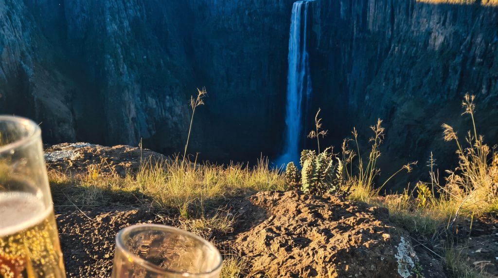
Of everything on this route, this is the hour we would not trade.
Day eight: out through the front door
Three hours of sweeping tar back towards Maseru, with a stop near Roma for a second set of dinosaur tracks if the group wants them. Across the bridge, stamped out, and down the N8.
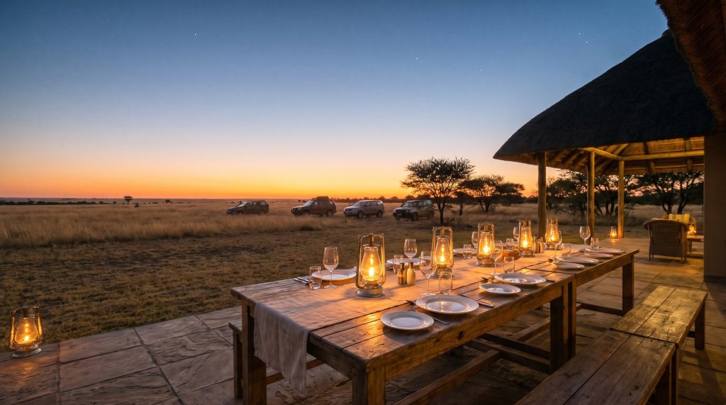
We do not finish in the middle of Bloemfontein. The last night is at a lodge out in the veld, on the airport side of the city. Dust on the doors, a proper dinner, and eight days of stories told slightly louder than they happened.
Day nine: home
Breakfast, handshakes, and a short drive to the airport or the long road home.
What the FR Tour Team does
The same as on every expedition, stretched over nine days. A lead car in front that has read the road. A sweep car behind so that nobody is ever last. Radios in every car. Four border crossings handled for you. Tyres down, tyres up, and a walk-around of every car at each change of surface. Every bed booked, every table laid, every picnic packed. You drive your luxury 4×4, as delivered, and look out of the window.
Is it on the calendar
No. Our three expeditions are three days each, and this is nine. It needs the right season, which means autumn or spring. It needs four cars whose owners can disappear for a week and a half.
But it is drawn, and we would very much like to drive all of it in one go. If you would too, request a place and say Lesotho in the notes. A person reads it, and we call.
